 Read more
October 29th, 2020
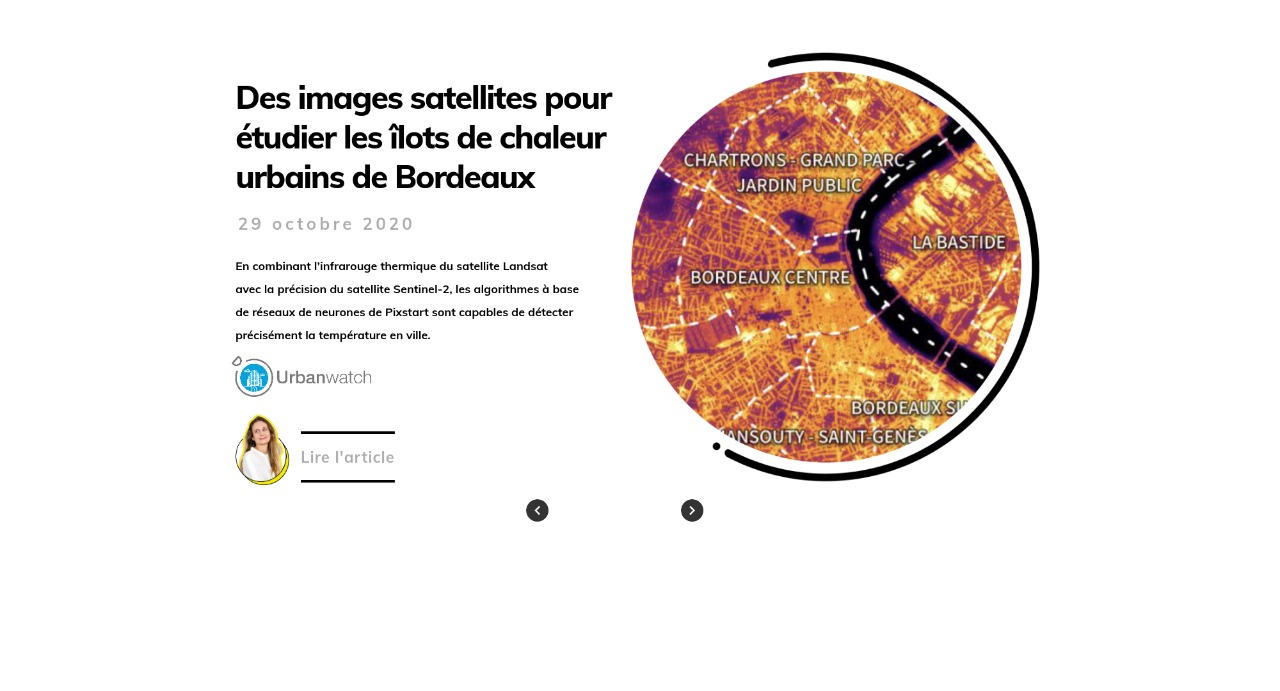
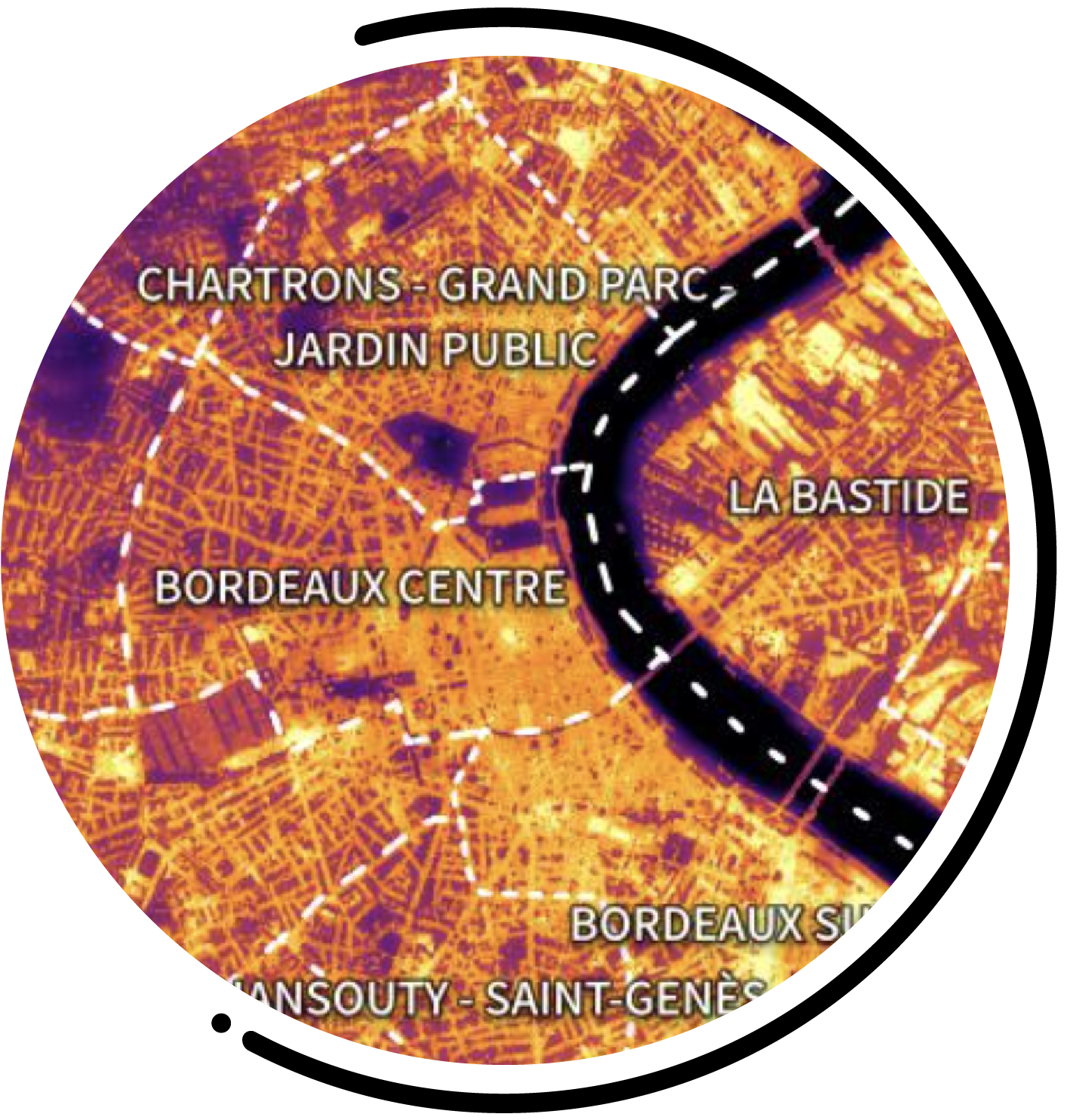
By combining the thermal infrared of the Landsat
satellite with the accuracy of the Sentinel-2 satellite, Pixstart's neural
neural network algorithms are able to accurately detect
the temperature in cities.

Satellite images to study
study the urban heat islands
in Bordeaux

July 20th, 2021
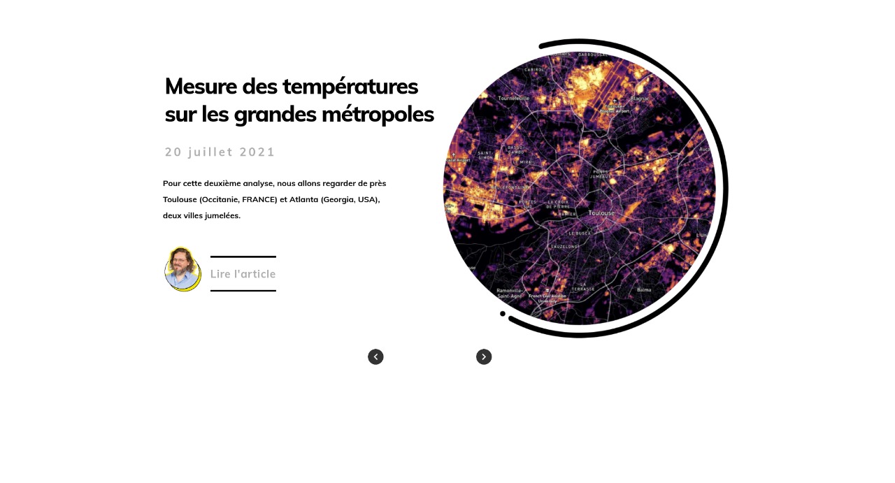
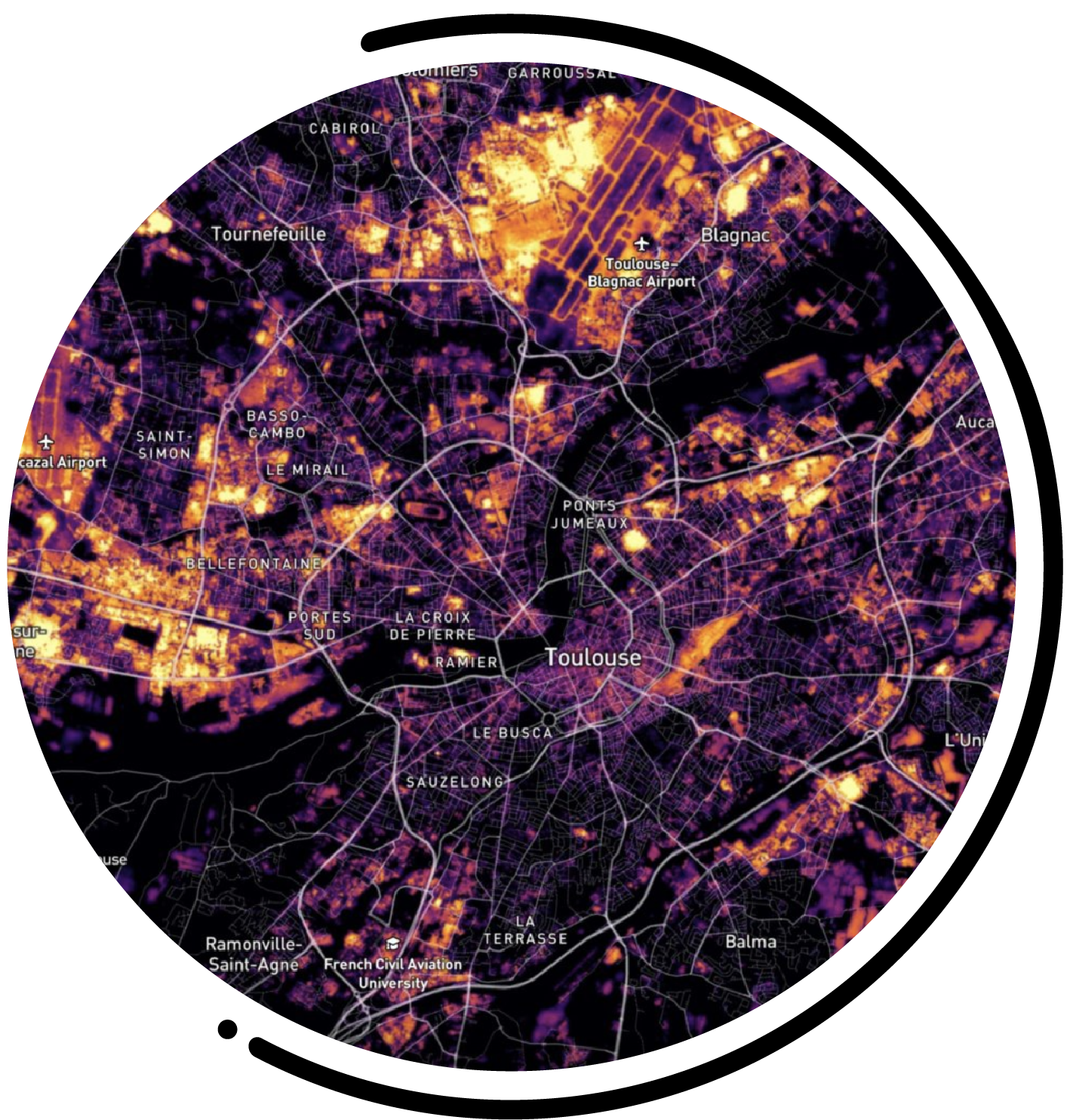
For this second analysis, we will look closely at
Toulouse (Occitanie, FRANCE) and Atlanta (Georgia, USA),
two twin towns.
Measuring temperatures
on major cities


 Read more

October 29th, 2020
By combining the thermal infrared of the Landsat
satellite with the accuracy of the Sentinel-2 satellite, Pixstart's neural
neural network algorithms are able to accurately detect
the temperature in cities.
Satellite images to study
study the urban heat islands
in Bordeaux

 Read more
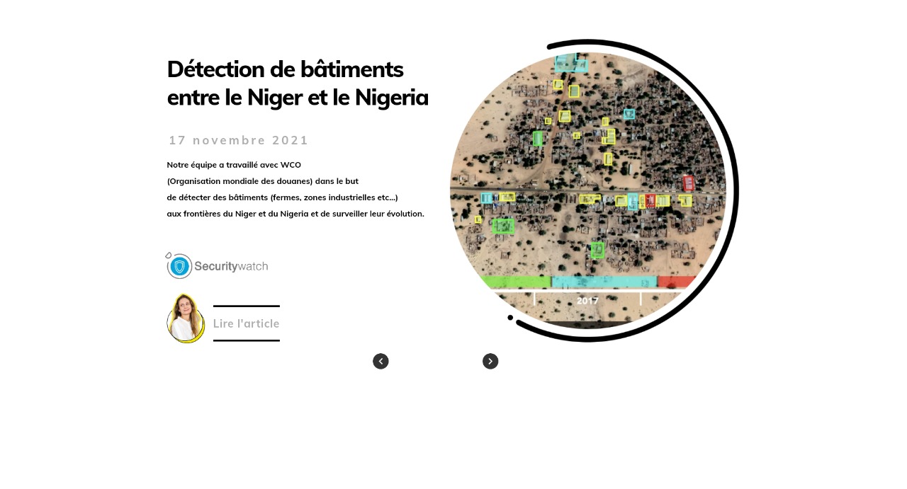
17 novembre 2021
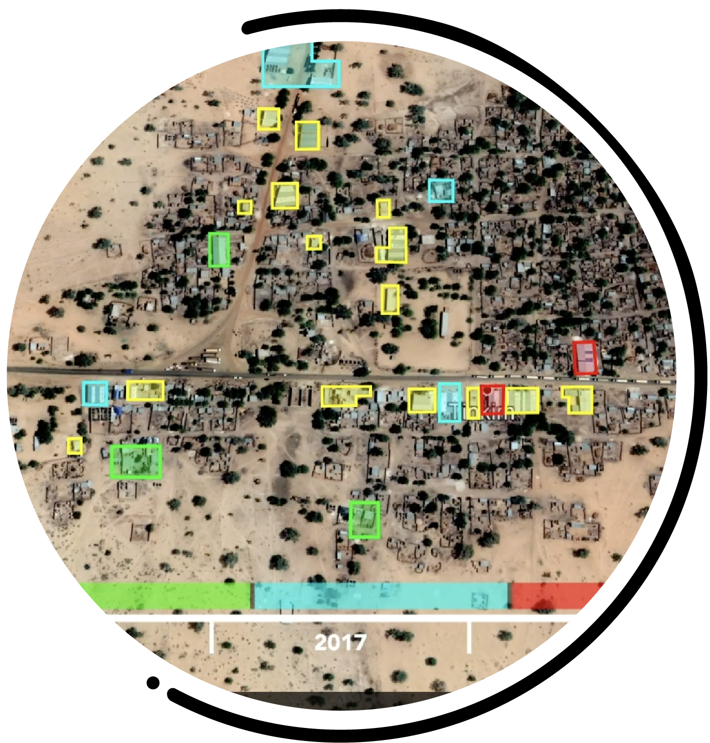
Our team worked in collaboration with WCO
(World Customs Organisation) in order to detect
and monitor buildings (farms, industrial zones, etc.)
on the borders of Niger and Nigeria and to monitor their evolution.
Buildings detections
between Niger and Nigeria

 Read more
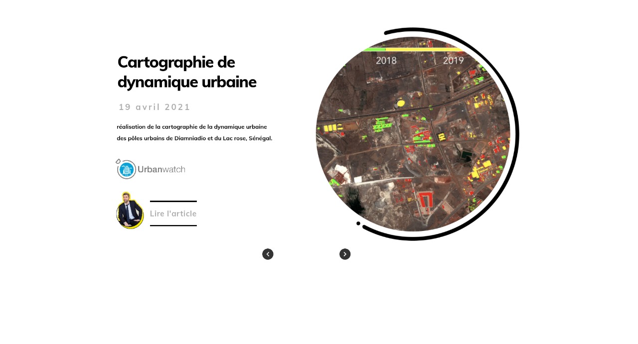
April 19th, 2021
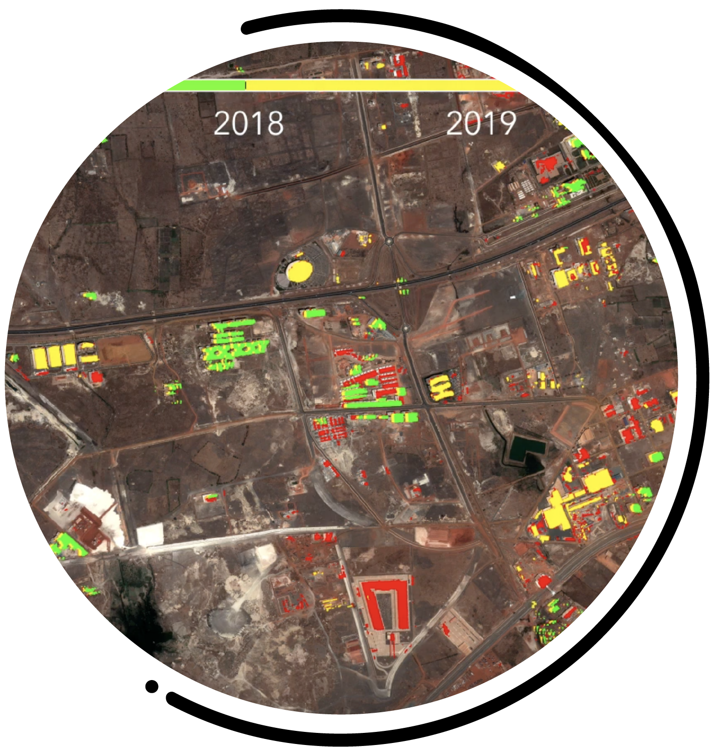
Mapping the urban dynamics of the urban centers
of Diamniadio and Pink Lake, Senegal.
Mapping of
urban dynamics

 Read more
April 19th, 2021
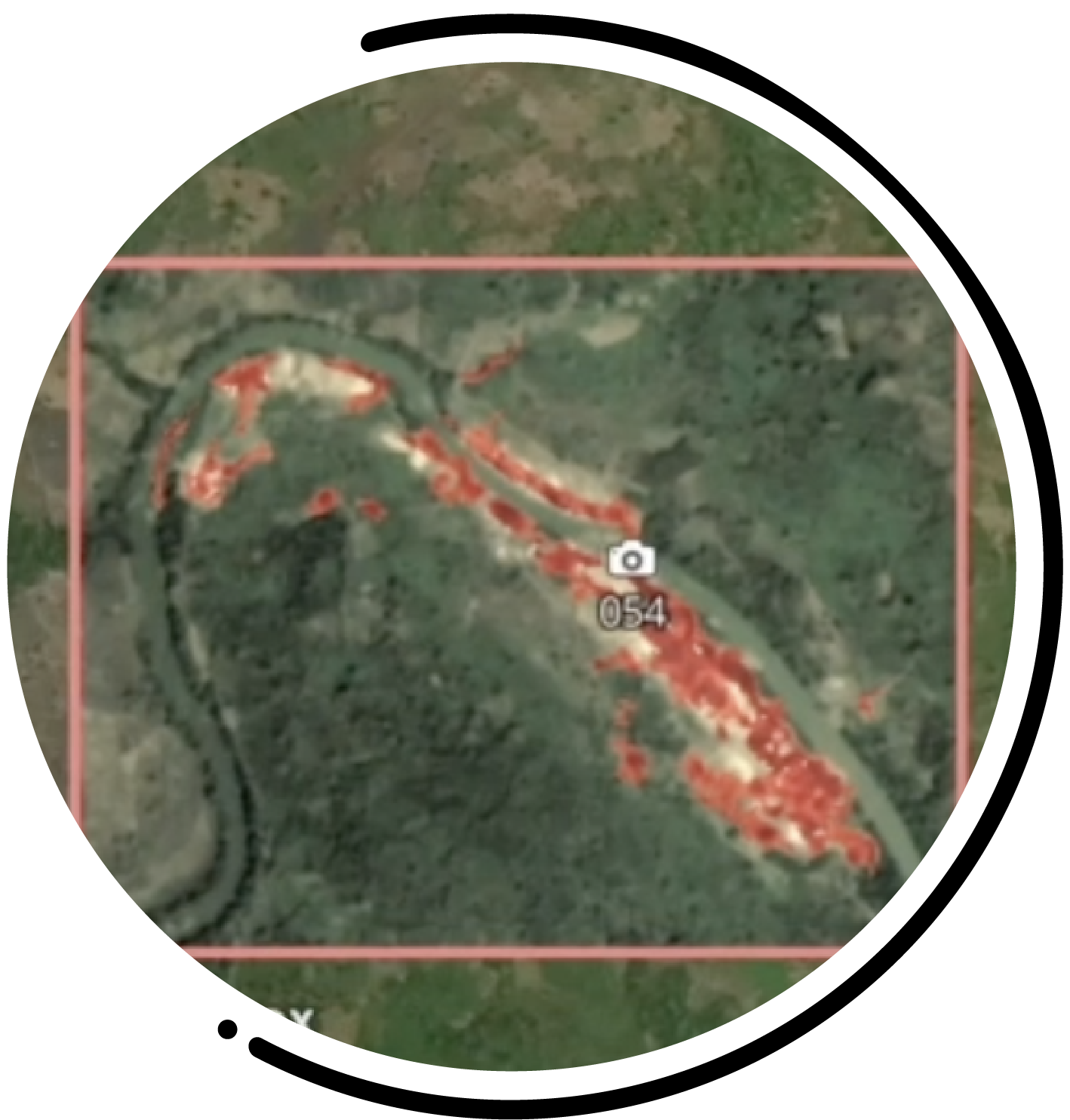
With the contribution of Geo212 and CURAT,
Pixstart has developed a tool for detecting
of gold panning sites in Ivory Coast.

Detection and monitoring
of gold mining sites


November 29th, 2019
Automatic quantification of Earth observation.
The QuantEO service brings you the full power of
of Earth observation while taking into account the difficulties of
measurement difficulties of satellite remote sensing.
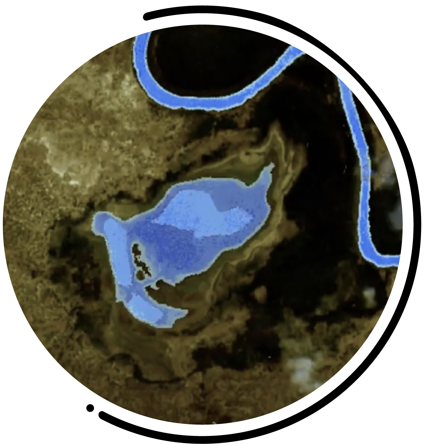
Searching for water sources
in Sub-Saharan Africa


April 16th, 16 avril 2018
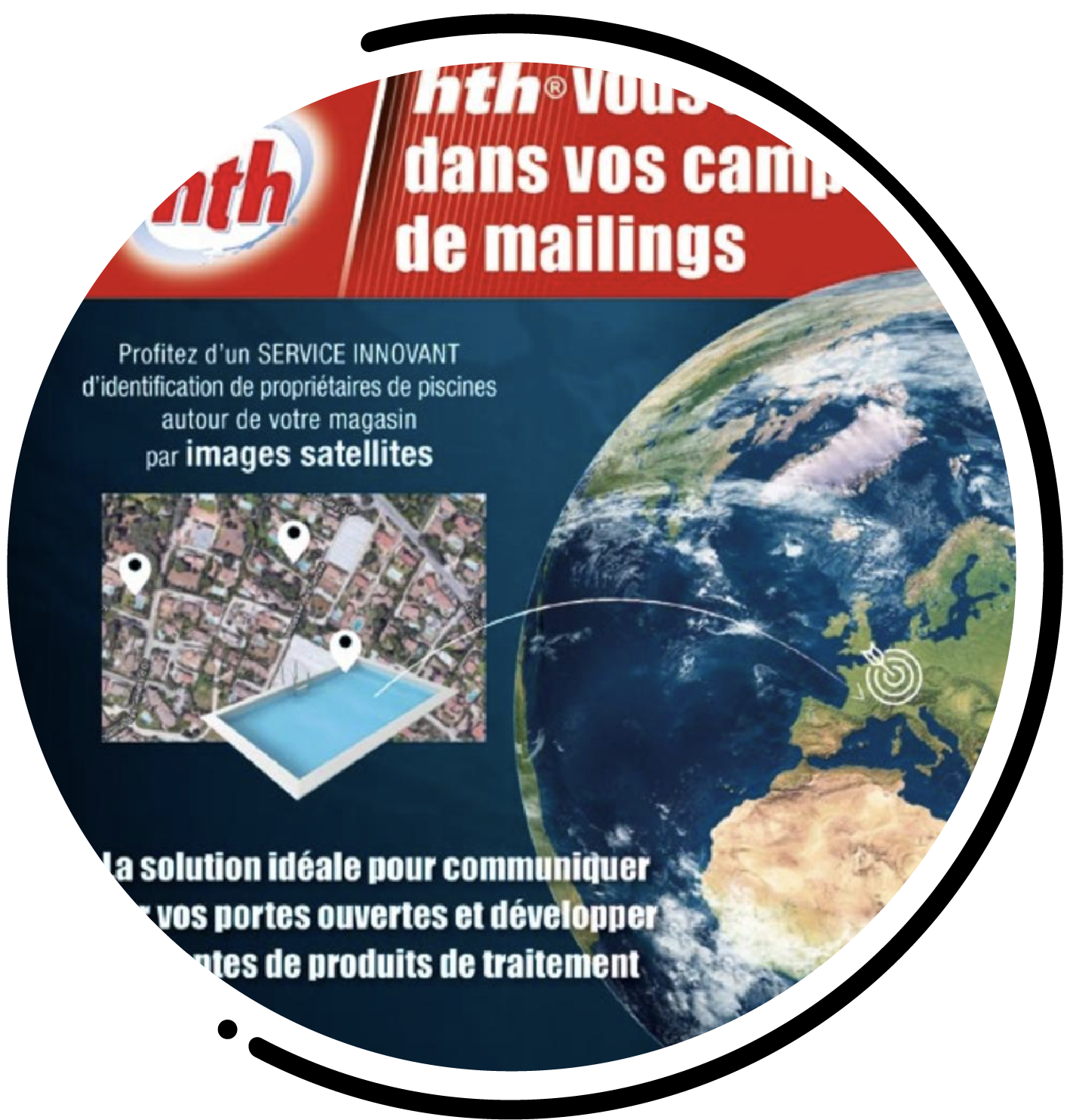
Pixstart produces an innovative service
using satellite images to identify
swimming pools around local shops.
HTH advertisement in
Special Pros magazine



March 21st, 2018
Read moreCNES MAG presents Pisxtart.
How to develop your business thanks to satellites.
Pixstart is put forward
by the CNES


